


[HOUSTON, TX]

3D Laser Scanning Services in Houston, TX

When your Houston project has outdated drawings, a tight shutdown window, or a tenant improvement that has to fit existing walls exactly, an existing conditions survey gives your team field-verified data before design starts. We scan plants, buildings, and infrastructure across the Houston metro — from the Ship Channel to the Energy Corridor — and deliver point clouds, as-built drawings, and Scan-to-BIM-ready models your engineers can start using the same week.

[HOUSTON METRO]

What you get in Houston (scope of service)

Accurate As-Built Documentation
•  High-precision point clouds, 2D CAD drawings, or Scan-to-BIM models.
•  Eliminates reliance on missing or outdated as-builts.
•  Provides a verified baseline for design and analysis.
Improved Design Efficiency
•  Engineers design directly on accurate 3D data.
•  Less guesswork and field adjustments; faster iterations.
•  Real-world conditions baked into your model from day one.
Clash Detection & Coordination
•  Native integration with BIM workflows (e.g., structural vs. MEP).
•  Early issue discovery so new work fits existing conditions.
Dimensional Control & QA/QC
•  Verify tolerances during fabrication or installation.
•  Compare as-designed vs. as-built to spot deviations early.
Complex Geometry, Made Simple
•  Curved, angled, and irregular assets captured reliably.
•  Perfect for dense pipe racks, conveyors, mills, and heritage assets.
Lifecycle Value for Facility Teams
•  A point cloud record your team can reuse for future renovations and capital projects.
•  Long-term data continuity for owners and operators.
[BENEFITS]

Key benefits for your Houston project

More Information
DELIVERABLES

Unmatched accuracy

Millimeter-class point clouds — precision matched to the instrument class your project needs.

Time savings

Faster than manual measuring; capture everything in one mobilization.

Cost reduction

Fewer change orders, reduced rework, better prefabrication fit.

Complete coverage

Comprehensive 3D capture, not just selected tape-downs.

Better collaboration

Shareable data across CAD/BIM platforms; everyone works from the same model.

Non-intrusive & safe

Eye-safe lasers, quiet operation, minimal disruption to production.
[DELIVERABLES]

Typical deliverables

arrow rightarrow right
REQUEST A QUOTE
Registered point cloud (.RCP/.RCS, .E57, .LAS) with 360° panoramas
As-built 2D CAD (plans, sections, elevations, details)
Scan-to-BIM models (Revit/IFC) for structural, MEP, and architectural — coordinated through our modeling partners
Deviation/fit-up reports, available on request, for dimensional control and QA/QC
Point cloud archive for future renovations, retrofits, and operations
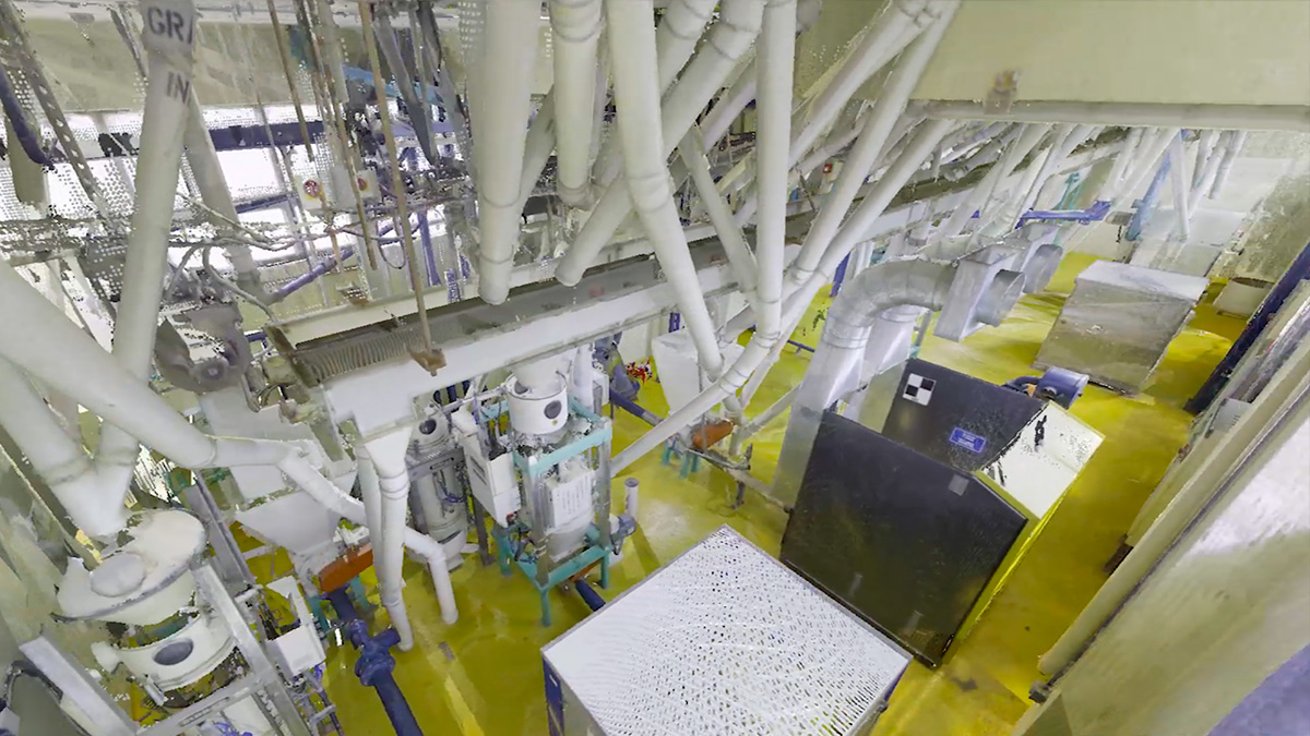
Point cloud of packaging-plant equipment captured with a 3D laser scanner
[USE CASES]

Common use cases in Houston

Brownfield retrofits and plant re-configurations
MEP coordination and pipe reroutes in congested areas
Shutdown/turnaround planning with reduced on-site time
Equipment fit-up and prefabrication validation
Tenant improvement and commercial interior buildouts — existing conditions before permitting
Civil and infrastructure documentation — utilities, clearances, and control points
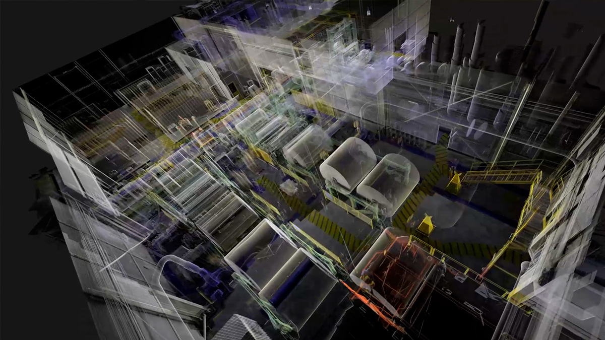
3D point cloud of a packaging plant production line from laser scanning
[about SERVICE]

Frequently
Asked Questions

Explore answers to key questions about our 3D Laser Scanning services.
get in touch
What is laser scanning?
arrow up
Laser scanning uses LiDAR (Light Detection and Ranging) technology to capture millions of precise 3D points from surfaces. This creates a point cloud, which can be turned into accurate drawings, models, or as-built records of real-world environments.
What can laser scanning be used for?
arrow up
•  As-built documentation
•  Building Information Modeling (BIM)
•  Construction verification and clash detection
•  Facility and asset management
•  Topographic surveys
•  Historical preservation
•  Industrial plant, MEP, and manufacturing documentation
How accurate is laser scanning?
arrow up
Accuracy depends on the class of instrument used, not one number for every project. Tripod-based scanners (Leica RTC360, FARO Focus) typically hold about 2 mm per scan station. Mobile/SLAM scanners (NavVis VLX2, Leica BLK2GO) typically run 6–20 mm depending on the environment, tightened with survey control points when the project needs it. We choose the instrument based on the tolerance your project actually requires.
How fast is the scanning process?
arrow up
Laser scanning captures large amounts of data much faster than manual measuring.
For example, a full building floor can often be scanned in a few hours, with results delivered in days instead of weeks.
What deliverables do I receive?
arrow up
•  Point clouds (E57, RCP, LAS, etc.)
•  2D drawings (plans, sections, elevations)
•  3D CAD or BIM models (Revit, AutoCAD, IFC, etc.)
•  Deviation reports, available on request, comparing construction vs. design
Do I need special software to view the scans?
arrow up
No. We can provide files compatible with free viewers (Autodesk ReCap, CloudCompare, etc.), so you don’t need expensive software to review your project.
Is laser scanning disruptive to operations?
arrow up
Not at all. The process is non-invasive and typically requires no downtime. Scanners are compact, quiet, and can capture data while facilities remain operational.
How does it save me money?
arrow up
•  Reduces costly change orders
•  Prevents design clashes before construction
•  Eliminates repeat site visits
•  Improves overall project efficiency
What does 3D laser scanning cost in Houston?
arrow up
Most Houston projects run $0.25–$0.50 per square foot scanned, depending on site complexity, occupancy status, and the deliverables you need — a point cloud only vs. a full Scan-to-BIM model. We confirm a firm number after a short scope call, at no cost.
Is laser scanning safe?
arrow up
Yes. Terrestrial scanners use eye-safe, Class 1 lasers, making the process completely safe for people and equipment.
[GET IN TOUCH]

Let's Scope Your Houston Project

Field-verified existing conditions data for your Houston project — scoped fast, delivered ready for design.
info@dynamicjt.com
+1 (832) 746-1497
1120 NASA Parkway, Suite 220D Houston, TX. 77058
Houston-Based Field Team
Point cloud flythrough animation of a scanned industrial building
Thank you! Your submission has been received!
Oops! Something went wrong while submitting the form.